The Santa Barbara Maritime Museum (SBMM) is presenting “The History and Importance of Hydrography” on Thursday, July 21, 2022, at 7 pm PT. This in-person presentation by Charles Brennan about the study of ocean and shoreline geography, its characteristics, and its importance will be held at the museum and registration is required. Cost is free for SBMM’s Navigator Circle Members, $10 for all other members, and $20 for members of the public. There will also be a pre-lecture reception for members only from 6:15-6:45pm. Register at: https://sbmm.org/santa-barbara-event/ and become a member at https://sbmm.org.
What is hydrography and who does it affect?
“Hydrography is the science that measures and describes the physical features of the navigable portion of the Earth’s surface and adjoining coastal areas. Hydrographic surveyors study these bodies of water to see what the ‘floor’ looks like. Under the Department of Commerce, NOAA’s Office of Coast Survey is concerned about the safe passage of ships traveling to and from our ports. Coast Survey conducts hydrographic surveys to measure the water depths to ensure the coastal regions of the United States are safe for boats and ships to navigate. [The data that is gathered is used to] update nautical charts and develop hydrographic models; increasingly, hydrographic data is used for multiple purposes, through the Integrated Ocean and Coast Mapping program.” (from https://oceanservice.noaa.gov/facts/hydrography.html)
Using charts to navigate
Surveyors pay particular attention to acquiring precise locations of shallow areas, obstructions, and aids to navigation that warn mariners. They also record tide or water level measurements to provide a vertical reference (mean lower low water) for water depths. Surveys also determine sea floor material (i.e. sand, mud, rock), which is important for anchoring, dredging, structure construction, pipeline and cable routing, and fish habitat.
How does it work?
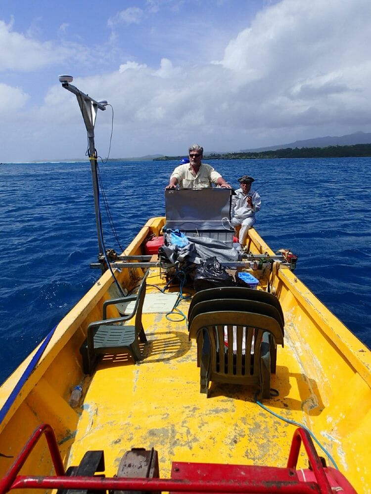
Hydrographic vessels are equipped with side scan and multibeam sonars which use sound waves to find and identify objects in the water to determine seafloor depth. NOAA’s Remote Sensing Division and commercial hydrographic contractors use aircraft equipped with lidar to measure water depths in areas with complex and rugged shorelines. Lidar is also used on some NOAA vessels to collect shoreline features at a safe distance from shore. Coast Survey and its commercial contractors survey approximately 2,000 to 3,000 square nautical miles each year.
Charles Brennan has been a surveyor and hydrographer for 50 years. His extensive career has given him a unique perspective and wide-ranging experience in the various facets of the field. Working with Offshore Navigation Inc. in New Orleans, he was a surveyor for world-wide seismic survey operations, and assisted in trans-oceanic cable route surveys. For Wimpol Ltd., in the UK, Brennan oversaw trans-oceanic hydrographic surveys for the installation of submarine fibre-optic communication cables, the R.V. Ocean Surveyor with medium and deep water multibeam systems, and training for surveyors in multi-beam techniques and equipment operation. In addition, for various companies he has been involved in planning and completing major offshore survey, pipeline, and construction projects in the Persian Gulf, India, the Gulf of Mexico, and throughout Asia. For the past 14 years, he has been the chief hydrographic engineer of R2Sonic LLC, where he is responsible for setting up and operating the Test & Verification Division, Support Department, and for all R2Sonic customers’ installations and training.
Leave a Response